
A Model for Mobility
Traveling around our region can be challenging, but together we can find ways to improve it. It starts with understanding what is working for residents and commuters and where there are areas for opportunities. That’s what the Westpark Tollway study is all about and here is where you can get involved!
We Need to Hear from You!
Your insights can help shape the future of the Westpark Tollway Corridor! This is your opportunity to share thoughts, ideas, and feedback with us. Your voice is key in defining how we can improve safety, connectivity, and the overall travel experience for everyone using the corridor.
Whether you’re a resident, business owner, or corridor traveler on your daily commute, your ideas matter! From safety concerns to better traffic flow, or simply making the corridor more beautiful, we need your feedback to make the best recommendations.
We are counting on YOU to help shape the future of the Westpark Tollway Corridor!
How You Can Get Involved
Want to shape the future of the Westpark Tollway? Here’s how you can contribute:
Don’t miss your chance—share your feedback today!
How will this study benefit me?

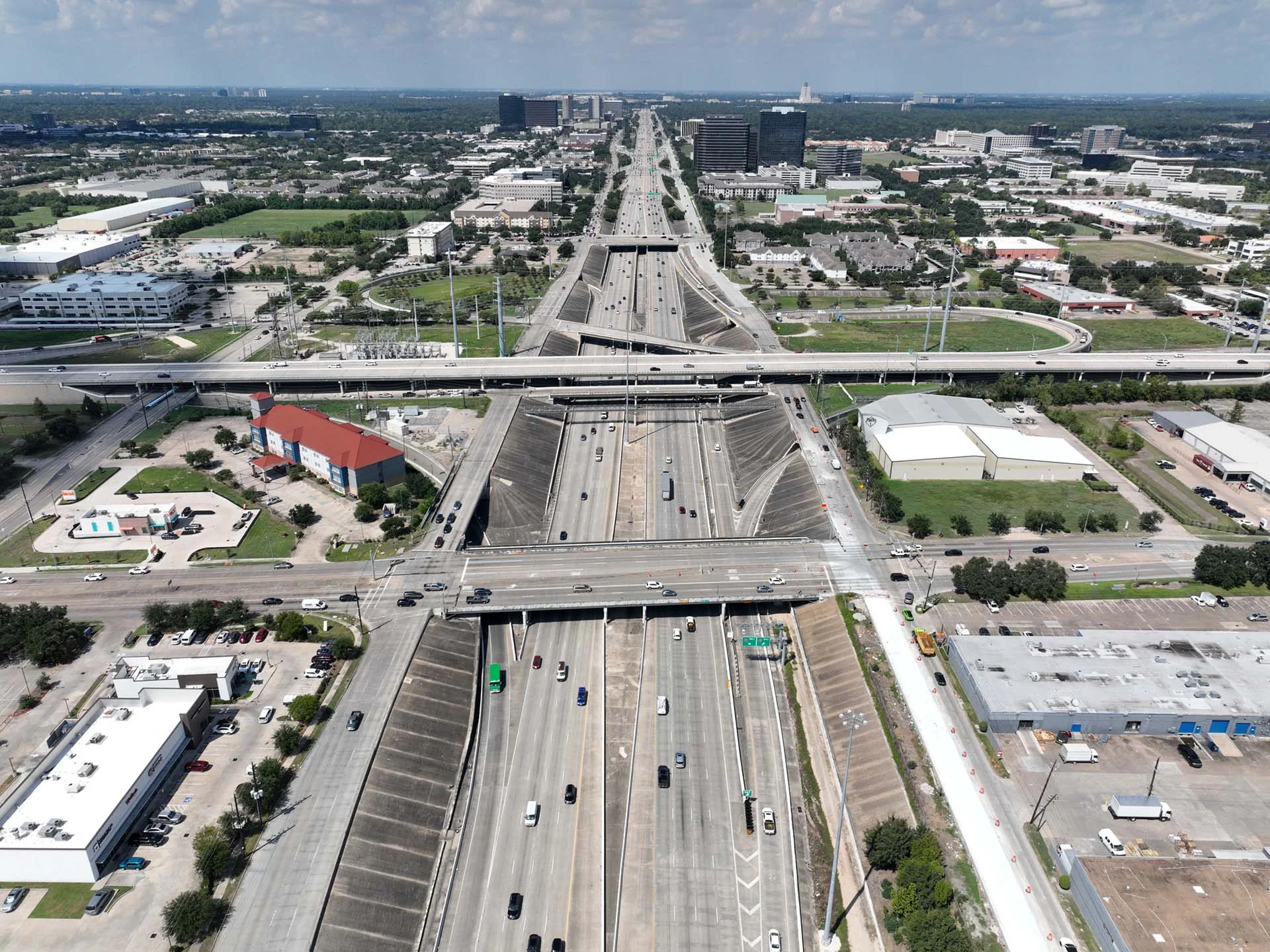
Study Area Map
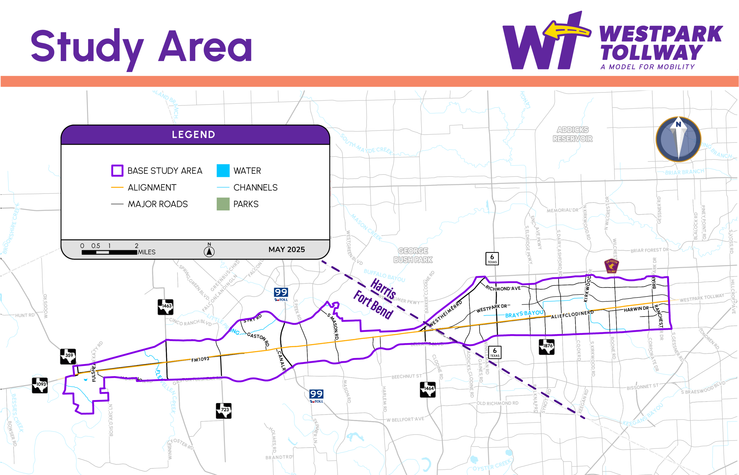
The study area includes Westpark Tollway from South Gessner Road, just east of the Sam Houston Tollway, to FM 1093 / FM 359 / Main Street in Fulshear and includes the planned extension of the Westpark Tollway to Fulshear.
What is the timeline for the study?

To learn more about the next steps for the study, visit our About the Study page.
Who’s Involved?
HCTRA has partnered with Metropolitan Transit Authority of Harris County (METRO), the city of Houston, and Fort Bend County on the study to meet the region’s mobility and connectivity needs.
Here are the partners and stakeholders involved in the Westpark Tollway Study, including government agencies, transportation officials, local organizations, and community groups, with their logos and names listed. The Westpark Study partners are HCTRA, the City of Houston, Fort Bend County, Harris County, and METRO. The Westpark Study key stakeholders are Harris County Precinct 4, Fort Bend Toll Road Authority, Fort Bend Transit, and the Harris County Engineering Department.
Study Partners


Key Stakeholders


News and Updates
The Future of Westpark Tollway: A Community-Driven Approach to Mobility
Westpark Tollway Study - Looking at ways to reduce congestion, improve safety, and create a more sustainable, community-focused tollway.